
Land & Acreage
Vacant Land & Lot Photography with Drone Coverage
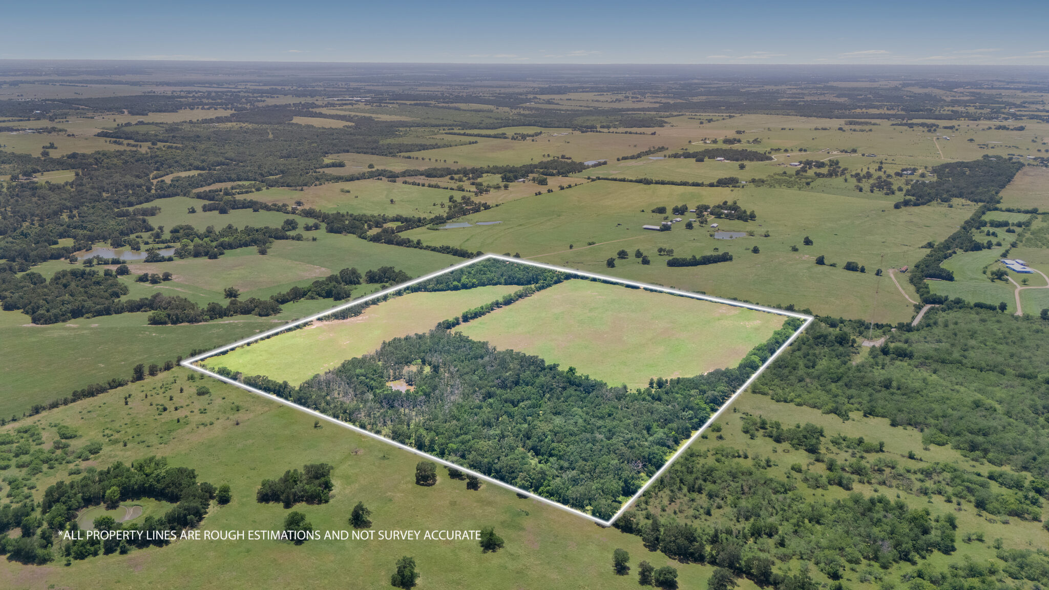
Show the boundaries, the terrain, and the access in one image.
Land listings fail on the MLS for one reason: a photo of a field tells a buyer nothing. Aerial coverage with boundary overlays does the opposite — it shows exactly how much land there is, where it sits relative to the road, what the terrain does, and where the trees, water, and buildable areas are.
- Fast turnaround, typically next business day
- FAA Part 107 certified drone pilot
- MLS-ready edited images plus full-resolution files
- Easy online booking and delivery
- Locally owned in Central Texas
- Insured
Right fit
Who land media is for
- Vacant lot and acreage listings
- Ranch and Hill Country land
- Developers marketing entitled or subdividable tracts
- Builders selling finished lots in a community
- Investors documenting a land holding
Deliverables
What is included
- Aerial coverage at multiple altitudes
- Wide context shots plus lower passes showing terrain and features.
- Property boundary overlays
- Lot lines drawn onto aerial images so acreage is immediately legible.
- Access and frontage documentation
- Road frontage, gates, driveways, and easement approaches.
- Terrain and feature highlights
- Tree cover, creeks, ponds, elevation changes, clearings, and building sites.
- Ground-level supporting photos
- Views from the likely home site and any existing structures or improvements.
Why it matters
What vacant land & lot photography does for your listing
Buyers understand scale instantly
Acreage is abstract in text and obvious from the air.
Fewer unqualified drive-outs
Buyers self-select before making a long trip into the county.
Shows what makes the tract special
Water, views, and buildable areas become visible selling points.
Works for development pitches
The same imagery supports investor and lender conversations.
Visual examples
Recent work from Central Texas
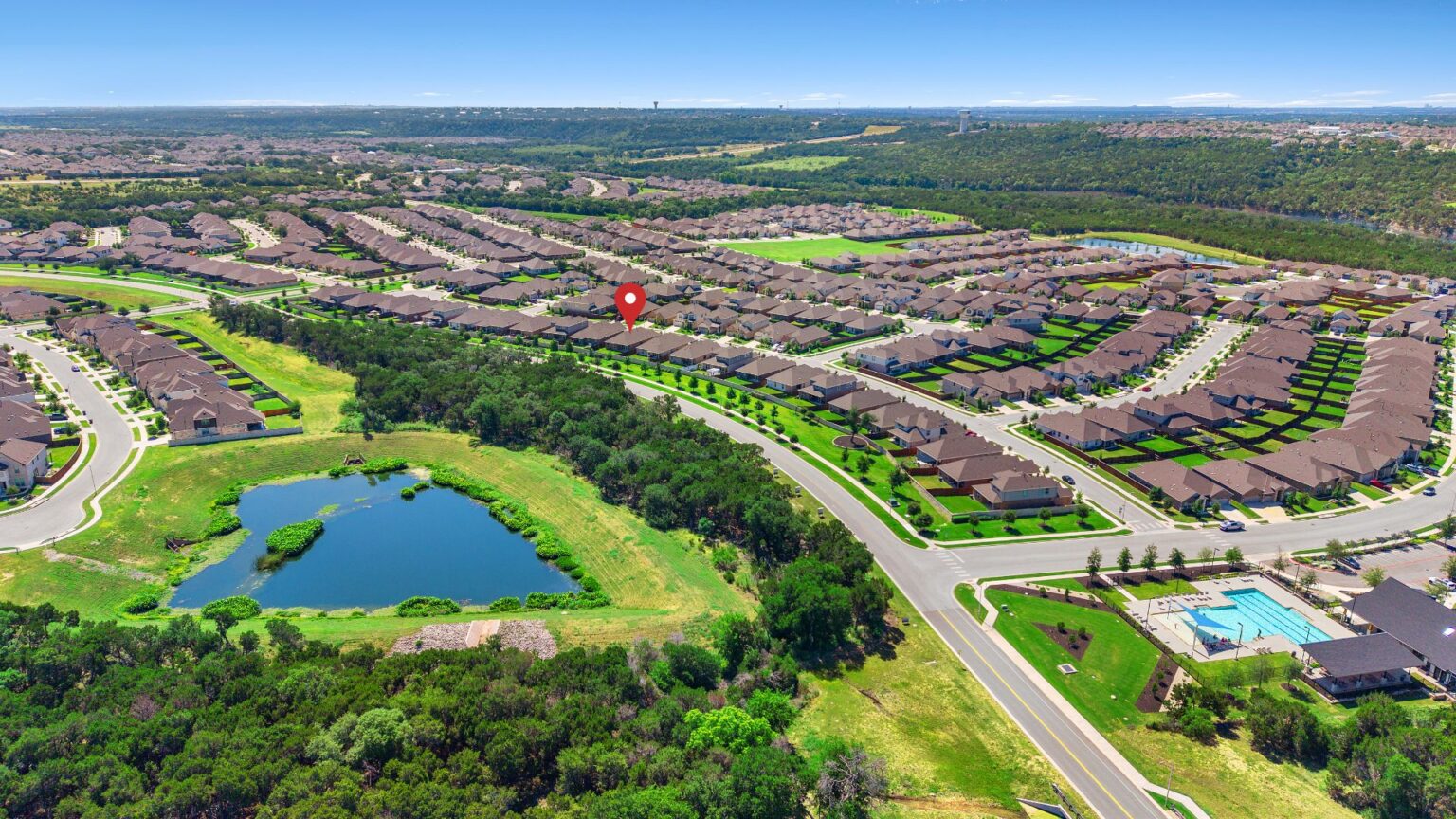
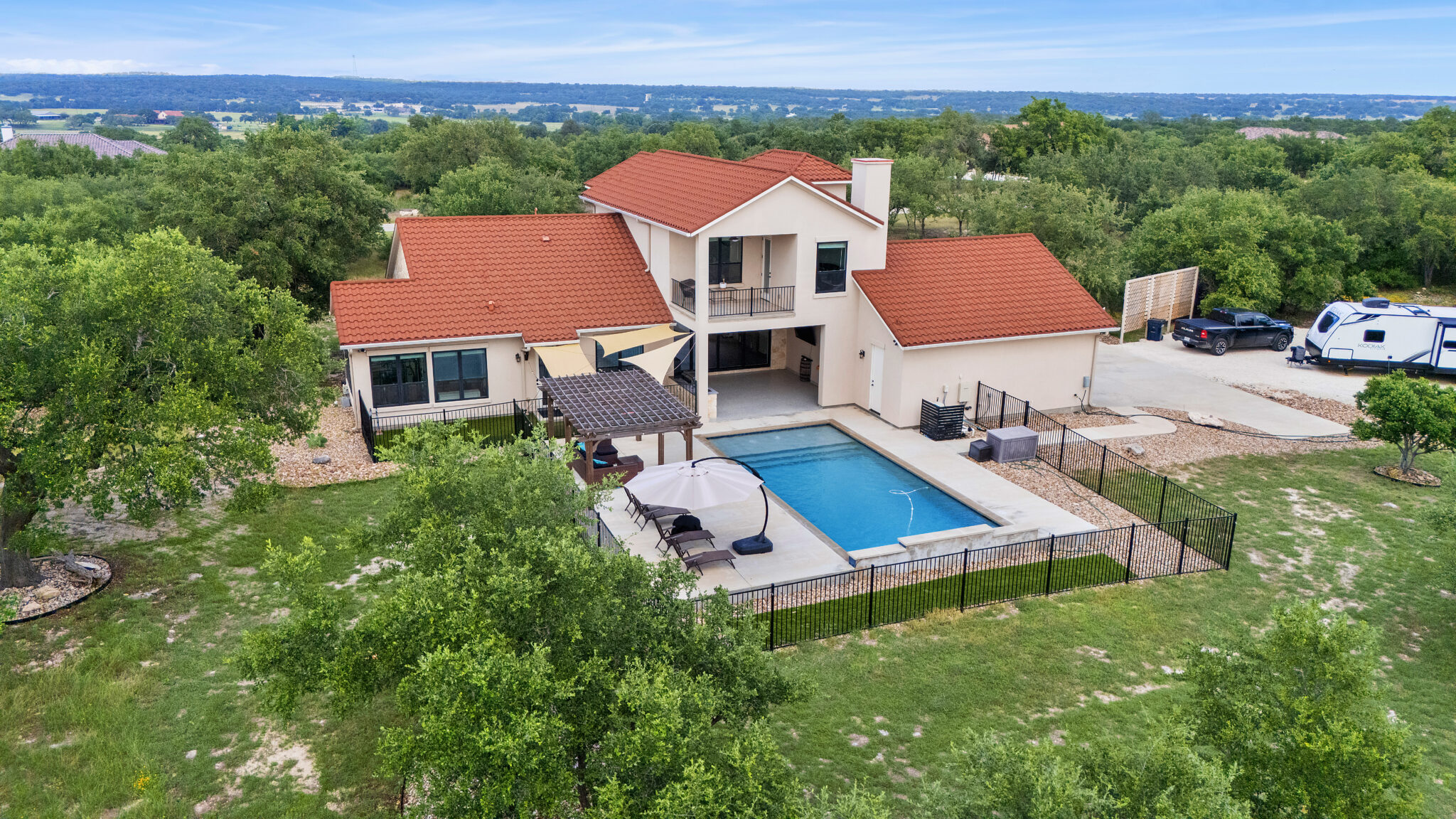
Sample imagery pulled from the ATXPhotoDude portfolio. Swap in project-specific examples as they become available — each image below includes descriptive alt text you can reuse.
Proudly serving
Austin & Central Texas
Land work extends well beyond the metro into surrounding Central Texas counties; travel is confirmed when the shoot is quoted. For city-specific details, visit the location pages on the main site.
Pairs well with
Related services
Drone Photography & Video
FAA-certified aerial photos and cinematic drone video of the property and surroundings.
Builder & New Construction Photography
Model homes, spec inventory, and progress documentation for builders.
Commercial Property Photography
Office, retail, industrial, and hospitality imagery for brokers and owners.
Real Estate Photography
Professional HDR listing photography that helps properties stand out online.
Frequently asked questions
Vacant Land & Lot Photography questions, answered
Can you add property lines to the photos?
Yes. Boundary overlays are standard on land shoots. Provide a plat or survey and the lines can be drawn accurately.
How large a tract can you cover?
Coverage scales with acreage. Larger tracts need more flight time and additional passes, which is accounted for in the quote.
Do you travel outside the Austin metro?
Yes. Rural land shoots regularly go beyond the metro. Travel for distant properties is confirmed up front.
Can you shoot land with no road access?
In most cases, yes — the drone can cover terrain that is hard to reach on foot, as long as there is a safe, legal launch point.
Ready to get started?
Book vacant land & lot photography with ATXPhotoDude
Choose your services, pick a date and time, and submit your order online. Not sure what your property needs? Request a quote and we'll put together the right package.