
Aerial Media
Drone Photography & Video for Central Texas Properties
FAA Part 107 certified aerial photography and cinematic drone video.
Some things simply cannot be shown from the ground: how a lot sits, where the water starts, how far the acreage runs, what the drive up to the property feels like. ATXPhotoDude is an FAA Part 107 certified drone pilot capturing aerial stills and cinematic aerial video that give buyers the context a ground-level photo set cannot.
- Fast turnaround, typically next business day
- FAA Part 107 certified drone pilot
- MLS-ready edited images plus full-resolution files
- Easy online booking and delivery
- Locally owned in Central Texas
- Insured
Right fit
Who drone media is for
- Waterfront and Lake Travis listings
- Acreage, ranch, and Hill Country properties
- Homes where lot size or privacy is a selling point
- Builders and developers documenting a site or community
- Commercial buildings that need to show parking, access, and surroundings
Deliverables
What is included
- Aerial still photography
- Edited overhead and elevated angles showing the home, lot lines, and approach.
- Cinematic aerial video
- Stabilized reveal, orbit, and pull-back moves cut to a clean, usable length.
- Neighborhood and amenity context
- Nearby water, greenbelt, golf, downtown skyline, or community features where relevant.
- Licensed and insured operation
- FAA Part 107 certified pilot flying within current airspace authorizations.
- MLS and social-ready exports
- Horizontal files for the MLS plus crops suited to social platforms.
Why it matters
What drone photography & video does for your listing
Answers the lot question immediately
Buyers understand size, shape, and setting in one image.
Higher engagement
Aerial hero shots consistently outperform ground shots as listing thumbnails.
Sells the location, not just the house
Proximity to water, trails, and downtown becomes visible instead of described.
Reusable for video and reels
Aerial clips drop straight into walkthrough videos and vertical reels.
Visual examples
Recent work from Central Texas
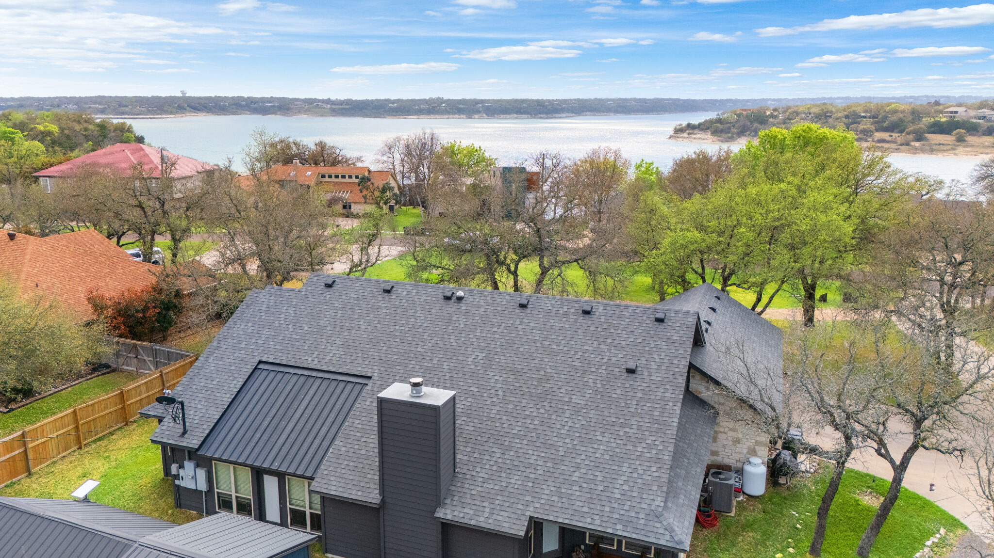
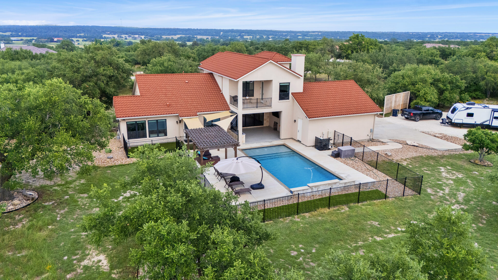
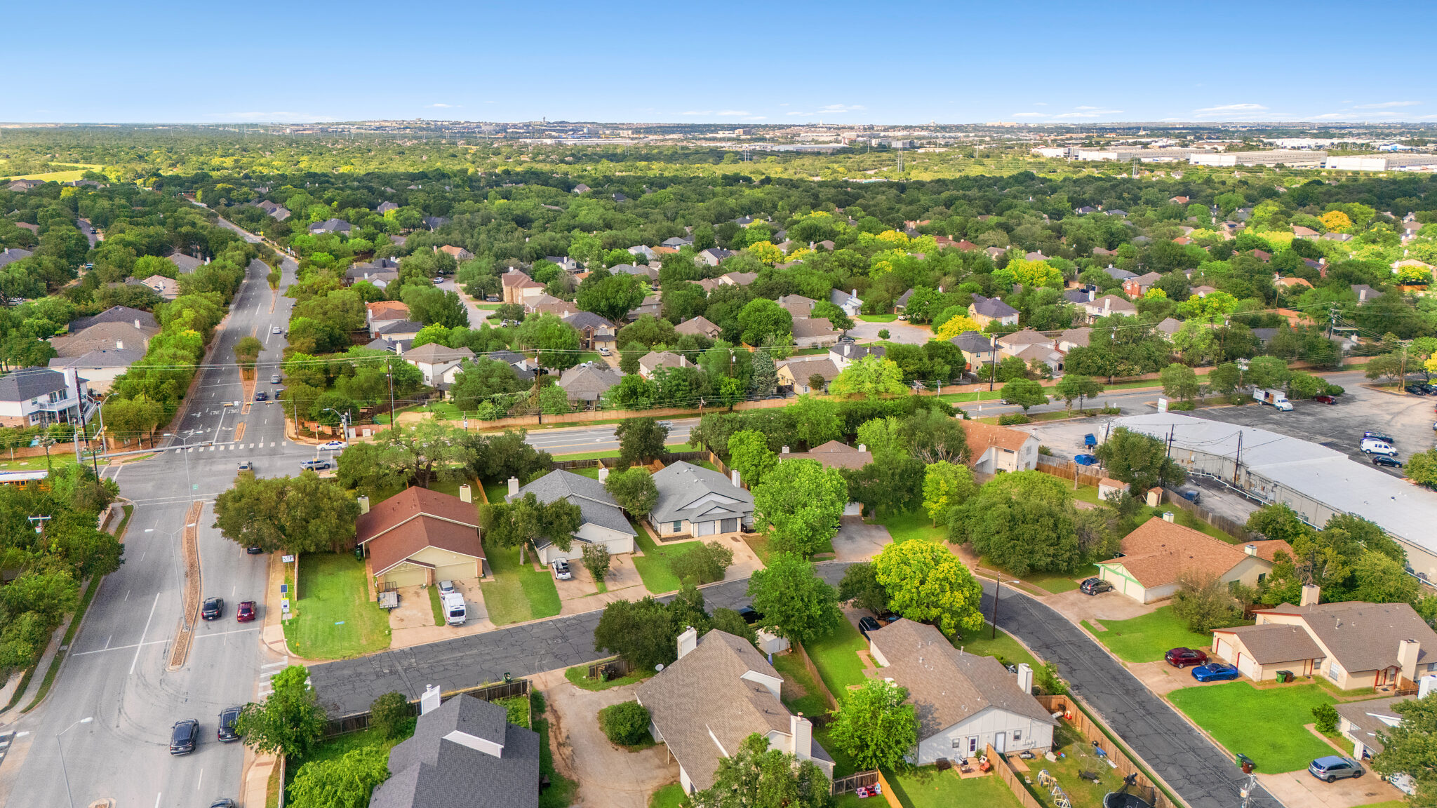
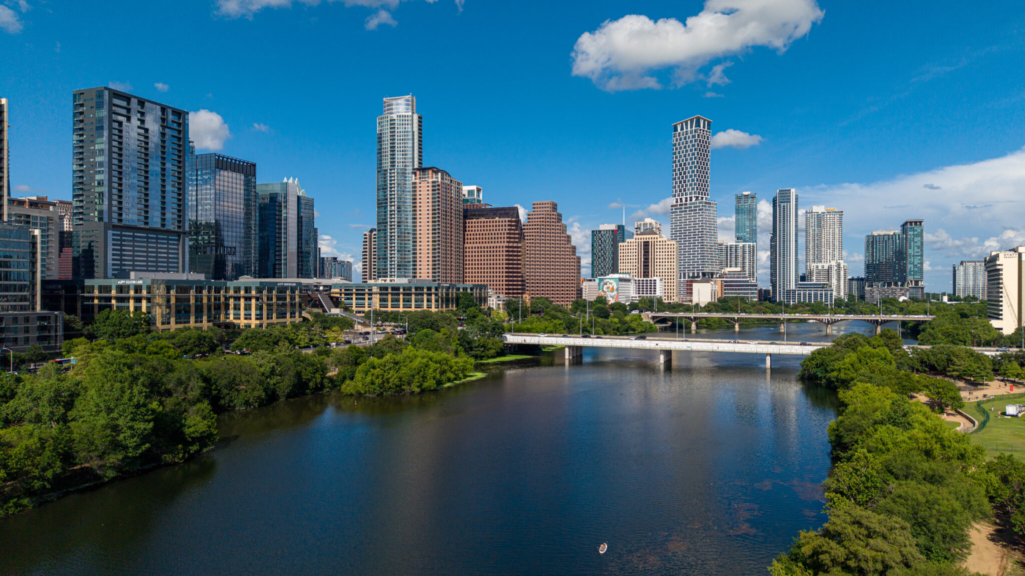
Sample imagery pulled from the ATXPhotoDude portfolio. Swap in project-specific examples as they become available — each image below includes descriptive alt text you can reuse.
Proudly serving
Austin & Central Texas
Airspace around Austin is busy. Flights near controlled airspace are cleared in advance so scheduled shoots stay on schedule. For city-specific details, visit the location pages on the main site.
Pairs well with
Related services
Real Estate Photography
Professional HDR listing photography that helps properties stand out online.
Vacant Land & Lot Photography
Aerial land coverage with boundary overlays that show size, access, and terrain.
Real Estate Video Walkthroughs
Cinematic property tours that carry buyers through the home in the right order.
Luxury Listing Media
A complete high-end package: twilight, aerial, cinematic video, and print-ready files.
Frequently asked questions
Drone Photography & Video questions, answered
Are you licensed to fly commercially?
Yes. ATXPhotoDude operates as an FAA Part 107 certified drone pilot and carries insurance.
Can you fly near downtown Austin or the airport?
Many locations near controlled airspace can be flown with prior authorization. Airspace is checked when the shoot is booked, and you are told up front if a location is restricted.
What happens if the weather is bad?
Drone work needs safe wind and visibility conditions. If conditions are unsafe, the aerial portion is rescheduled at no penalty.
Can you highlight property lines?
Yes. Aerial images can be delivered with property boundary overlays, which is especially useful for land and acreage listings.
Ready to get started?
Book drone photography & video with ATXPhotoDude
Choose your services, pick a date and time, and submit your order online. Not sure what your property needs? Request a quote and we'll put together the right package.